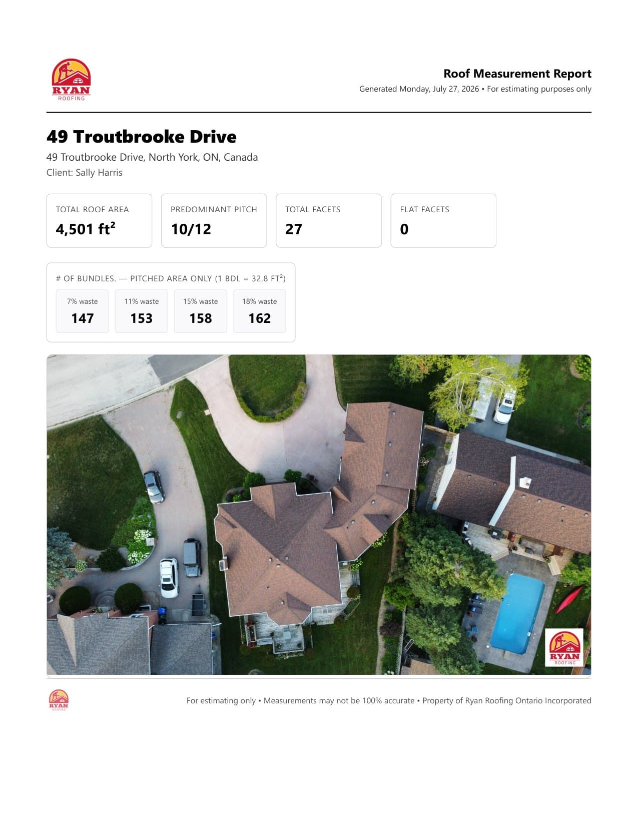

Trace the roof, watch the totals
Draw the roof directly on a satellite or drone image and totals update live as you go. Draw, edges, and pitch modes give you angle snapping, phantom-node insertion, undo/redo, and scale-point calibration so pixels turn into real feet. One measurement can hold multiple buildings, each with two drawing layers sharing a single image and scale.
- Live totals while you draw
- Angle snap, phantom nodes, undo/redo
- Multi-building, two-layer support